Our Trekking Blog
Latest Trekking Updates & Articles
Complete Kangchenjunga Trekking Guides
10 Things You Should Know About Kanchenjunga Trekking
If you’ve ever dreamed of standing in front of one of the world’s biggest mountains without the crowds, Kanchenjunga Trekking might be exactly what you’re looking for. Kanchenjunga, at 8,586 meters, is the third highest peak on Earth. The trek that carries its name...
What Are the Risks Involved in the Kanchenjunga Circuit Trek?
The main risks on the Kanchenjunga Circuit Trek are altitude sickness, remote trails with no roads, fast-changing weather, freezing cold, and rough terrain. Help is far away, so smart planning matters a lot. With a good guide, a slow pace, and the right gear, most...
Kanchenjunga Circuit Altitude Sickness Risks: What Every Trekker Must Know
Picture this. You're standing at Kanchenjunga's North Base Camp, 5,143 meters up. The view is unreal. But at this altitude, the air has roughly half the oxygen you breathe at sea level. Your head throbs. Your stomach churns. The nearest hospital? Days away....
Kanchenjunga Trek in October | A Complete Guide
October is the best month for the Kanchenjunga Trek. The rain from the summer monsoon is over. The skies turn bright blue. The trails are dry and safe to walk. You get the clearest views of Kanchenjunga, the third highest mountain in the world. The forests turn...
Travel Essentials Tips
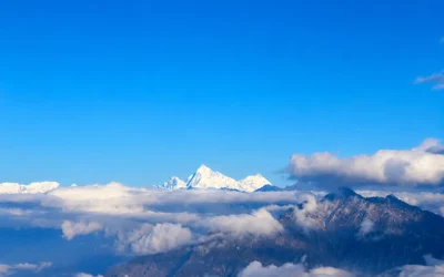
Are There Budget-Friendly Options for the Kanchenjunga Circuit Trek? (2026 Cost-Saving Guide)
Kanchenjunga has a reputation as Nepal's most expensive trek, and there's some truth to that. It...
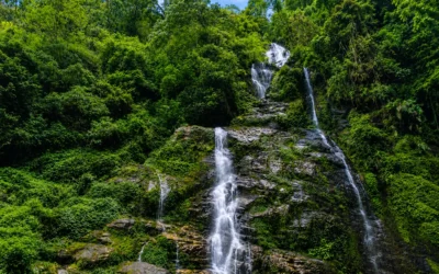
Is the Kanchenjunga Circuit Trek the Most Remote Trek in Nepal?
Yes, the Kanchenjunga Circuit Trek is one of the most remote treks in Nepal. It lies in far...
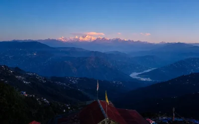
Best Navigation Apps for the Kanchenjunga Circuit Trek (2026 Guide)
Gaia GPS and Maps.me are the most trusted navigation apps for the Kanchenjunga Circuit Trek....
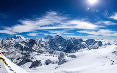
What makes the Kanchenjunga Circuit Trek unique?
The Kanchenjunga Circuit Trek is unique because it is a "full loop" that lets you experience both...
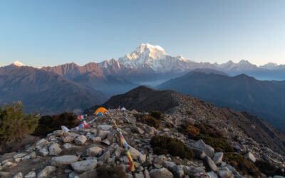
Can You See Kanchenjunga from Nepal During the Trek?
Yes, you can clearly see Kanchenjunga from Nepal during the trek. The circuit trek takes you to...
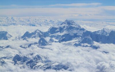
What Ethnic Groups Live in the Kanchenjunga Circuit Trek Region?
Key Takeaways The Kanchenjunga region is home to at least five major ethnic groups Limbu, Rai,...