Our Trekking Blog
Latest Trekking Updates & Articles
Complete Kangchenjunga Trekking Guides
Is the Kanchenjunga Circuit Trek Harder Than Everest Base Camp?
Nepal is home to some of the best mountain trails in the world. Two of the most famous are the Everest Base Camp trek and the Kanchenjunga Circuit. Many trekkers ask: Is the Kanchenjunga Circuit Trek harder than Everest Base Camp? The short answer is yes. The...
What is the Highest Altitude Reached on the Kanchenjunga Circuit Trek?
The highest altitude reached on the Kanchenjunga Circuit Trek is 5,140 meters (16,863 feet). You reach this top point at a place called Pangpema. Pangpema is also known as the Kanchenjunga North Base Camp. This is a very high elevation. The air is thin here, and the...
Can You Trek the Kanchenjunga Circuit in Winter or Monsoon?
Dreaming of seeing Mount Kanchenjunga without the crowds? You might be thinking about going during the off-season. Yes, you can trek the Kanchenjunga Circuit in winter or monsoon, but it is very challenging and risky. It is only recommended for experienced trekkers...
Do You Need a TIMS Card for the Kanchenjunga Circuit Trek?
No, you do not need a TIMS card for the Kanchenjunga Circuit Trek. Because Kanchenjunga is a "Restricted Area" in Nepal, the special Restricted Area Permit (RAP) completely replaces the need for a TIMS card. Welcome to your complete 2026 guide. If you are planning...
Travel Essentials Tips
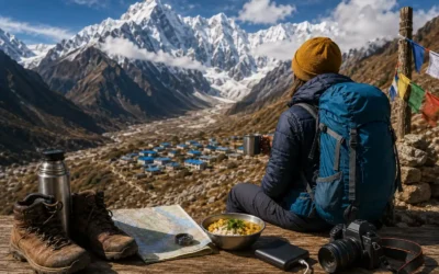
Can You Trek the Kanchenjunga Circuit in Winter or Monsoon?
Dreaming of seeing Mount Kanchenjunga without the crowds? You might be thinking about going during...
Do You Need a TIMS Card for the Kanchenjunga Circuit Trek?
No, you do not need a TIMS card for the Kanchenjunga Circuit Trek. Because Kanchenjunga is a...
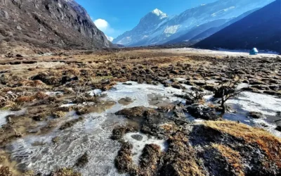
10 Things You Should Know About Kanchenjunga Trekking
If you’ve ever dreamed of standing in front of one of the world’s biggest mountains without the...
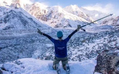
What Are the Risks Involved in the Kanchenjunga Circuit Trek?
The main risks on the Kanchenjunga Circuit Trek are altitude sickness, remote trails with no...
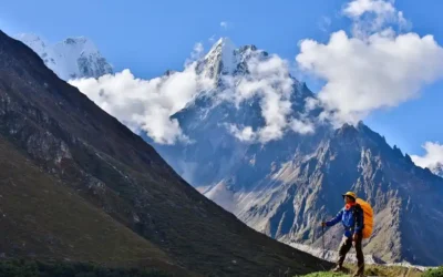
Kanchenjunga Circuit Altitude Sickness Risks: What Every Trekker Must Know
Picture this. You're standing at Kanchenjunga's North Base Camp, 5,143 meters up. The view is...
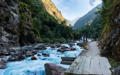
Kanchenjunga Trek in October | A Complete Guide
October is the best month for the Kanchenjunga Trek. The rain from the summer monsoon is over. The...