
Our Trekking Blog
Latest Trekking Updates & Articles
Complete Kangchenjunga Trekking Guides
What Permits Are Required for the Kanchenjunga Circuit Trek?
Key Takeaways The Kanchenjunga Circuit Trek requires two permits in 2026: the Restricted Area Permit at USD 20 per person per week and the Kanchenjunga Conservation Area Permit at NPR 2,000 flat fee per person. The RAP can only be obtained through a...
What Wildlife Might You See on the Kanchenjunga Circuit Trek?
Key Takeaways The Kanchenjunga Circuit Trek passes through the Kanchenjunga Conservation Area, one of Nepal's most biodiverse protected zones, home to over 40 mammal species and more than 400 bird species across distinct altitude zones. Red pandas, Himalayan black...
Is the Kanchenjunga Circuit Trek More Expensive Than Other Treks?
Key Takeaways The Kanchenjunga Circuit Trek is more expensive than most Nepal treks due to its mandatory Restricted Area Permit, compulsory licensed guide, remote location, and limited infrastructure along the trail. Total costs for the Kanchenjunga Circuit Trek...
What Is the Best Time to Do the Kanchenjunga Circuit Trek?
Key Takeaways The best time to do the Kanchenjunga Circuit Trek is during spring (March to May) and autumn (September to November) when trails are stable, skies are clear, and high passes are safely crossable. October is widely considered the single best month,...
Travel Essentials Tips
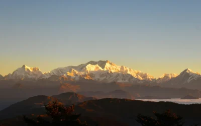
Where Does the Kanchenjunga Circuit Trek Begin and End?
Key Takeaways Start and End Point: The Kanchenjunga Circuit Trek both begins and ends in Taplejung...
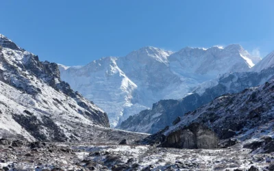
Main Routes of the Kanchenjunga Circuit Trek (Complete Guide)
Key Takeaways Multiple route options define the Kanchenjunga Circuit Trek: The trek includes the...
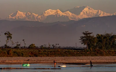
How Many Kilometers Is the Kanchenjunga Circuit Trek?
Key Takeaways The Kanchenjunga Circuit Trek is approximately 200–220 kilometers long, making it...
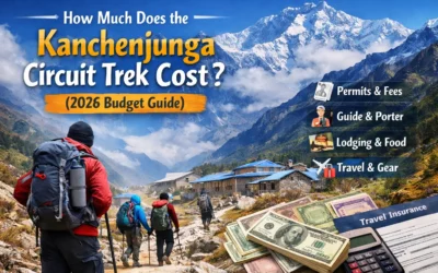
How Much Does the Kanchenjunga Circuit Trek Cost? (2026 Budget Guide)
Key takeaways The Kanchenjunga Circuit Trek cost is more expensive than popular treks because of...
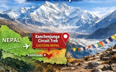
Where is the Kanchenjunga Circuit Trek located in Nepal
Key takeaways The Kanchenjunga Circuit Trek is located in far eastern Nepal, in the Taplejung...
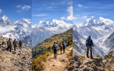
How Popular Is the Kanchenjunga Circuit Trek Compared to Everest or Annapurna?
Key Takeaways Everest Base Camp Trek is the most popular trek in Nepal, attracting the highest...